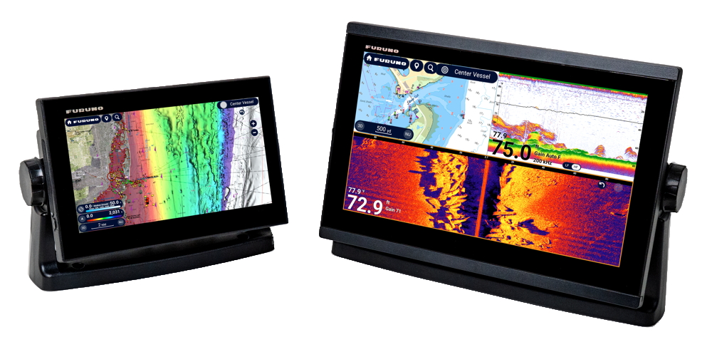
With the new TZtouchE series, which brings advanced navigation features to boats of all sizes, Furuno is expanding its range of NavNet TZtouch multifunction displays.
TZtouchE is a practical solution that allows you to integrate professional features, including the highly detailed TZ MAPS charts. The range comprises two models: the TZT9E (9”) and the TZT13E (13”). Both are multifunction displays with network connectivity and are compatible with all DRS series radar sensors. They feature a built-in fishfinder, support networked fishfinders, and can also be integrated with TZtouchXL systems. Thanks to their compact design, the new displays can also be installed on consoles that do not accommodate the 10” and 13” TZtouchXL Hybrid Touch models. Furthermore, users can utilise Furuno remote controls as the devices are fully compatible.
An advanced platform
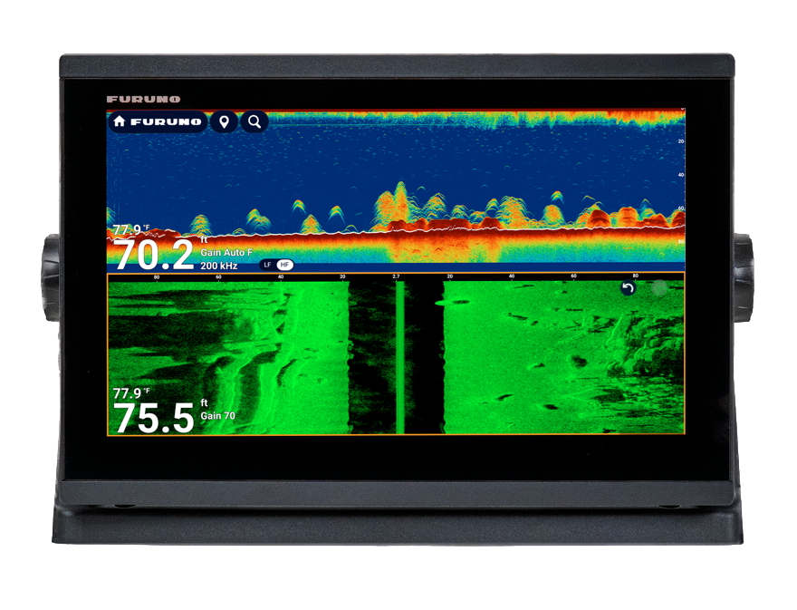
Each model features a high-brightness multi-touch display that is perfectly legible in direct sunlight. The graphical interface is based on the architecture of the TZtouchXL platform but has been optimised for speed and ease of use. Technical specifications include:
- Advanced chartplotter
- Built-in TruEcho CHIRP and CW fishfinder (300W / 600W / 1kW)
- CHIRP Side-Scan at 230kHz or 455kHz
This configuration eliminates the need for external modules in many installations and delivers performance typically found in higher-end systems, even on smaller vessels.
Full network integration
Those looking for a scalable solution can integrate the TZT9E and TZT13E with all current NavNet DRS radars and with Furuno’s main network-enabled echo sounder modules. These include:
- DFF3D Multi-Beam Echo Sounder
- CSH-10 Searchlight Sonar
- DFF Series
The system also features advanced tools such as Risk Visualizer, which analyses risks along the route, and AI Avoidance Route, which suggests alternative routes when it detects potential hazards. This provides the captain with advanced decision-making support and enhances operational safety.

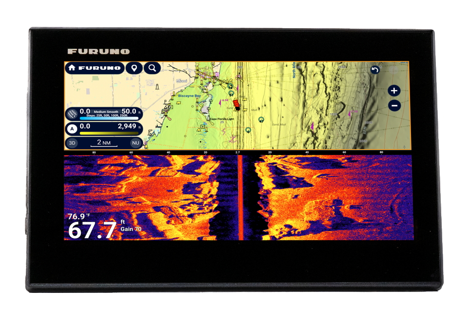

Ready-to-use, updatable cartography
Optional TZ MAPS charts can be purchased directly from the display, as the system allows you to unlock the desired areas immediately. The cartographic platform integrates official hydrographic data, high-resolution BathyVision bathymetry, satellite imagery and content shared by the community. This combination ensures detailed and customisable visualisation, whilst the extensive geographical coverage allows you to unlock entire regions with an affordable annual subscription after the first year.
Thanks to the free My TIMEZERO account, users can save waypoints and routes to the cloud and restore them at any time. This ensures that data remains protected even if the unit is replaced.
For more information on the TZtouchE series, please visit the official website at https://navnet.com/tztoucheseries.